
Welcome!
What is geomorphology?
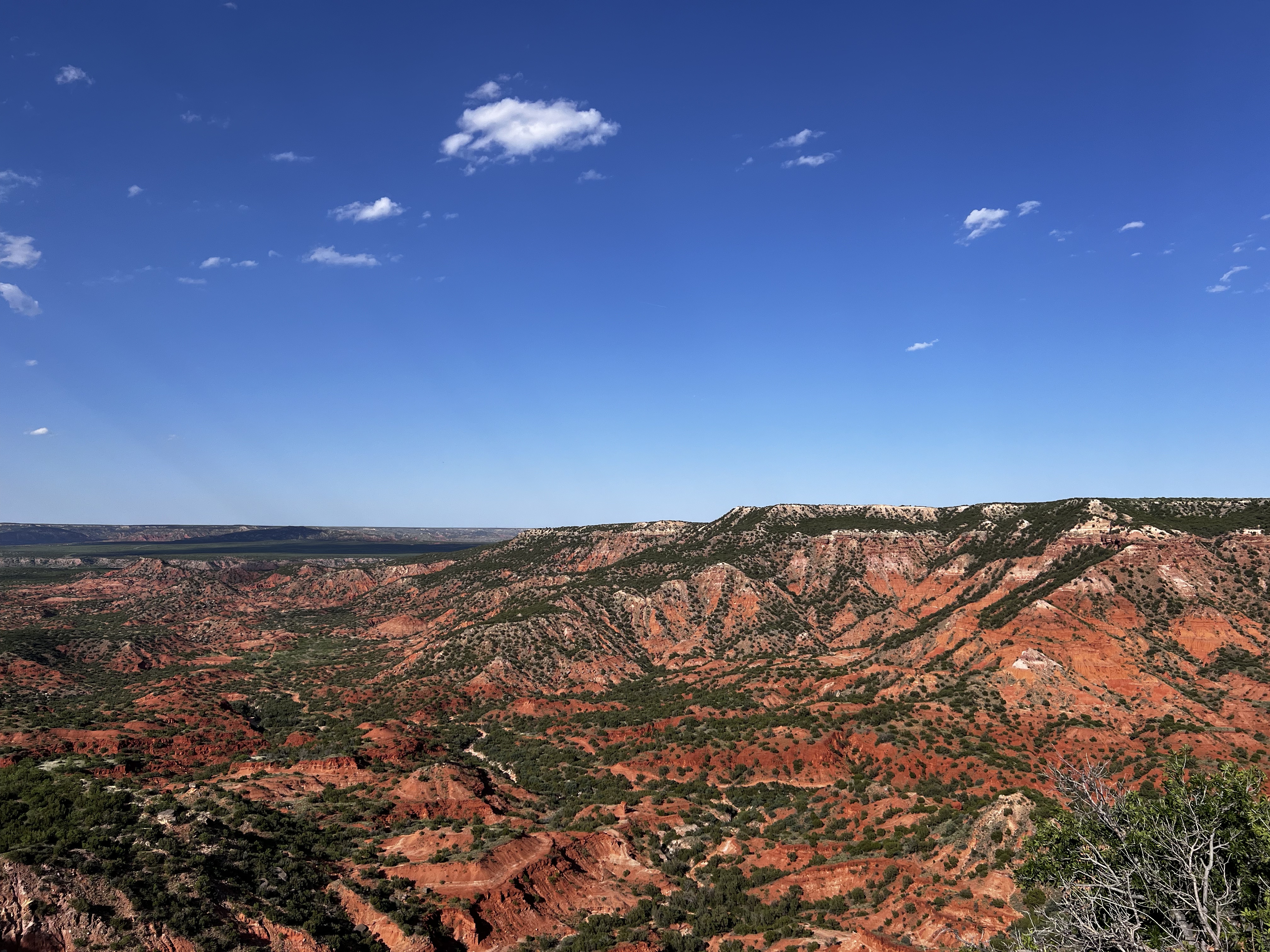
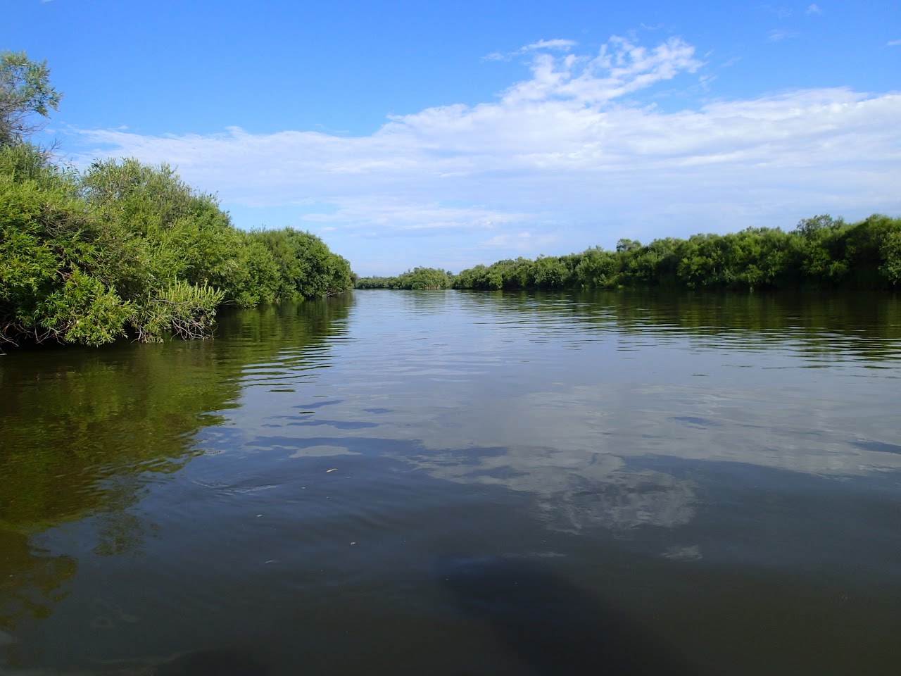
The science of “scenery” – understanding the processes that shape the planetary surfaces, like mountains and valleys, on Earth, Mars, and other planets. Here in our lab, we focus on environments like rivers, deltas, and coastal landscapes from mid-latitude to the Arctic.
Why is geomorphology important?
As the climate rapidly changes due to a combination of human and natural causes, disasters like flooding are expected to be stronger and occur more frequently! Moreover, coastal landscapes are experiencing an unprecedented rate of erosion due to rising sea levels. Geomorphologists possess the skill sets and abilities to analyze and explain past land surface changes, as well as make predictions to help mitigate the risks of climate change, given that 10% of the world’s population resides in coastal regions.
What does our lab study?
Our Lab uses sediment transport and fluid flow theories, field and remotely sensed observations, and numerical models to explore modern surface dynamics, including rivers, deltas, and coastal environments. We also uncover ancient sedimentary records, offering insights into climate change, environmental resilience, and the geological history of our planet.
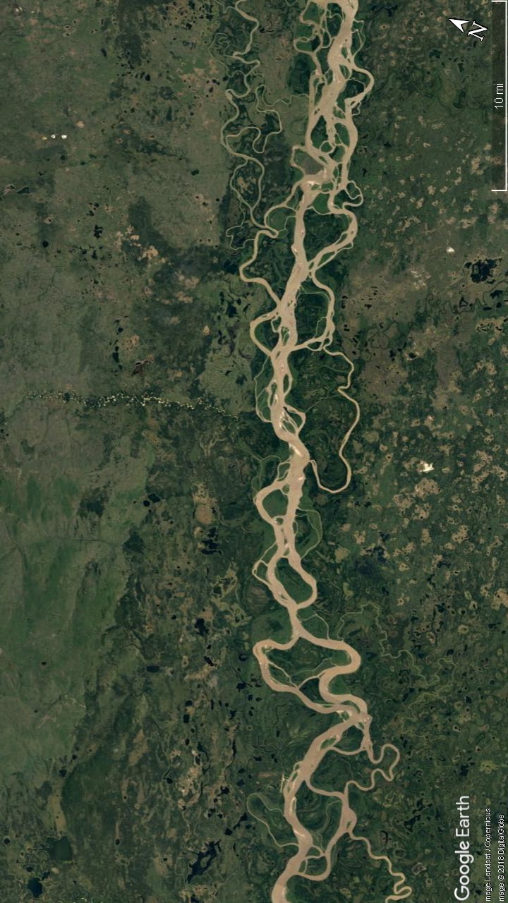

Surveying the Surface: A Drone’s Eye View
